Survey Procedure
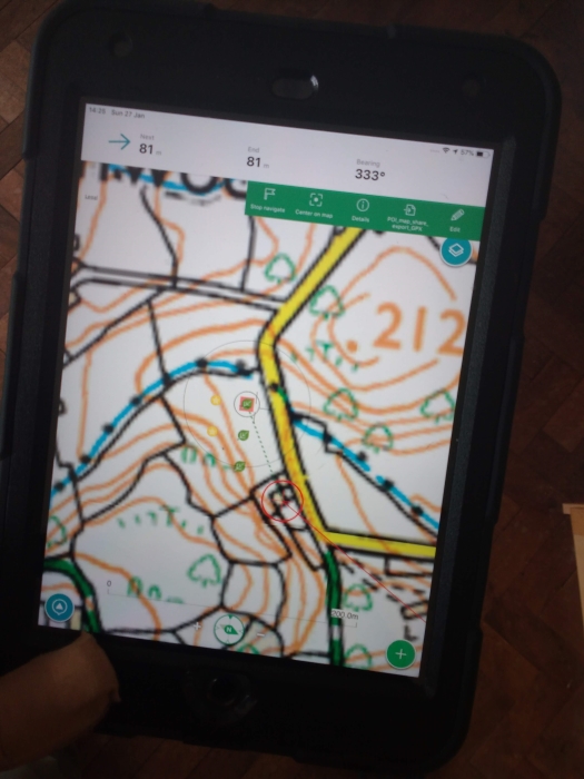
- Use viewranger, to navigate to the nearest unsurveyed sample site.
- Mark the sample site in viewranger by changing the icon.
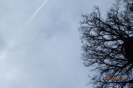
- Take an up photo.
- Take an down photo.
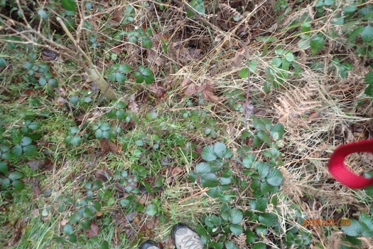
-
Check that the photos have been geo-referenced.
-
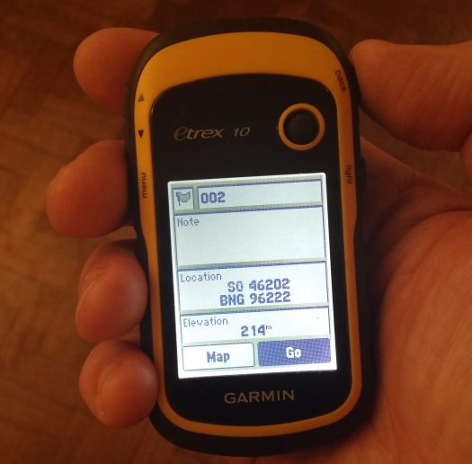
Mark a waypoint on the Garmin GPS.
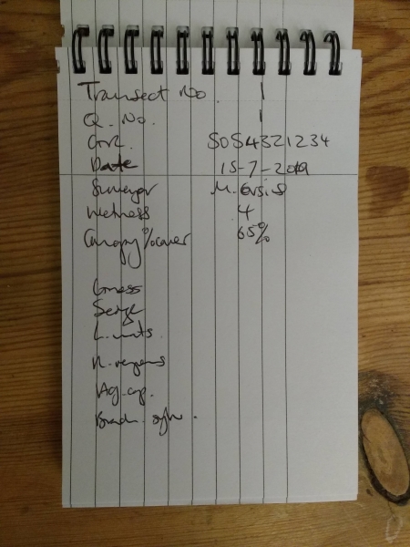
- Complete the survey data on a new page in the note book.
- Refer to the aide memoire on the front of the note book.
- Sample a 2 metre radius from the centre.
- Repeat.